Aye, a lot has happened this last week! I wish I would have had internet connection to break this post into sections. In summary, we traveled 200 miles on the ICW in 4 days and one day we had to stop early in the day due to thunderstorms. After reaching mile 0 on the ICW, we continued north to ‘negative miles’, as the boys put it, into the Chesapeake Bay.
The winds and storms finally let up some and we left Beaufort, heading north again on July 2nd. Going through the Neuse River, just north of Beaufort was the biggest body of water we have crossed in a while. The winds helped us along from behind and we managed to avoid the isolated thunderstorms still moving through the area.

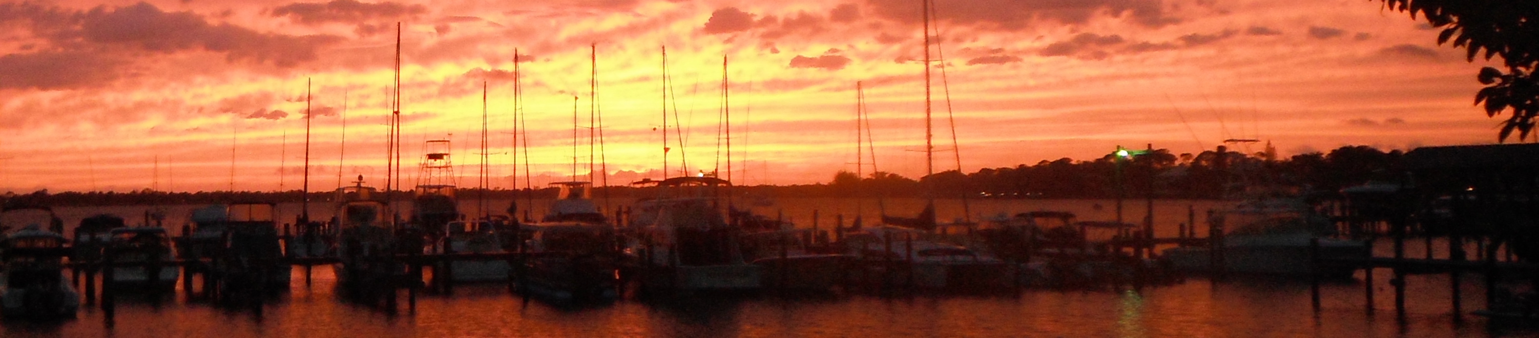
Truansea sailing out of Beaufort, NC. A classic sailboat in the background makes for a picture perfect start to the day.
The following video is part of a typical morning for us. We were headed up the Bay River in this video.
Going up the Pungo River, we passed a dredging rig. Pictures do not do justice to how long these rigs are so I attached a video. They drift in the wind so you do not want to be on the downwind side when you pass them in the channel.
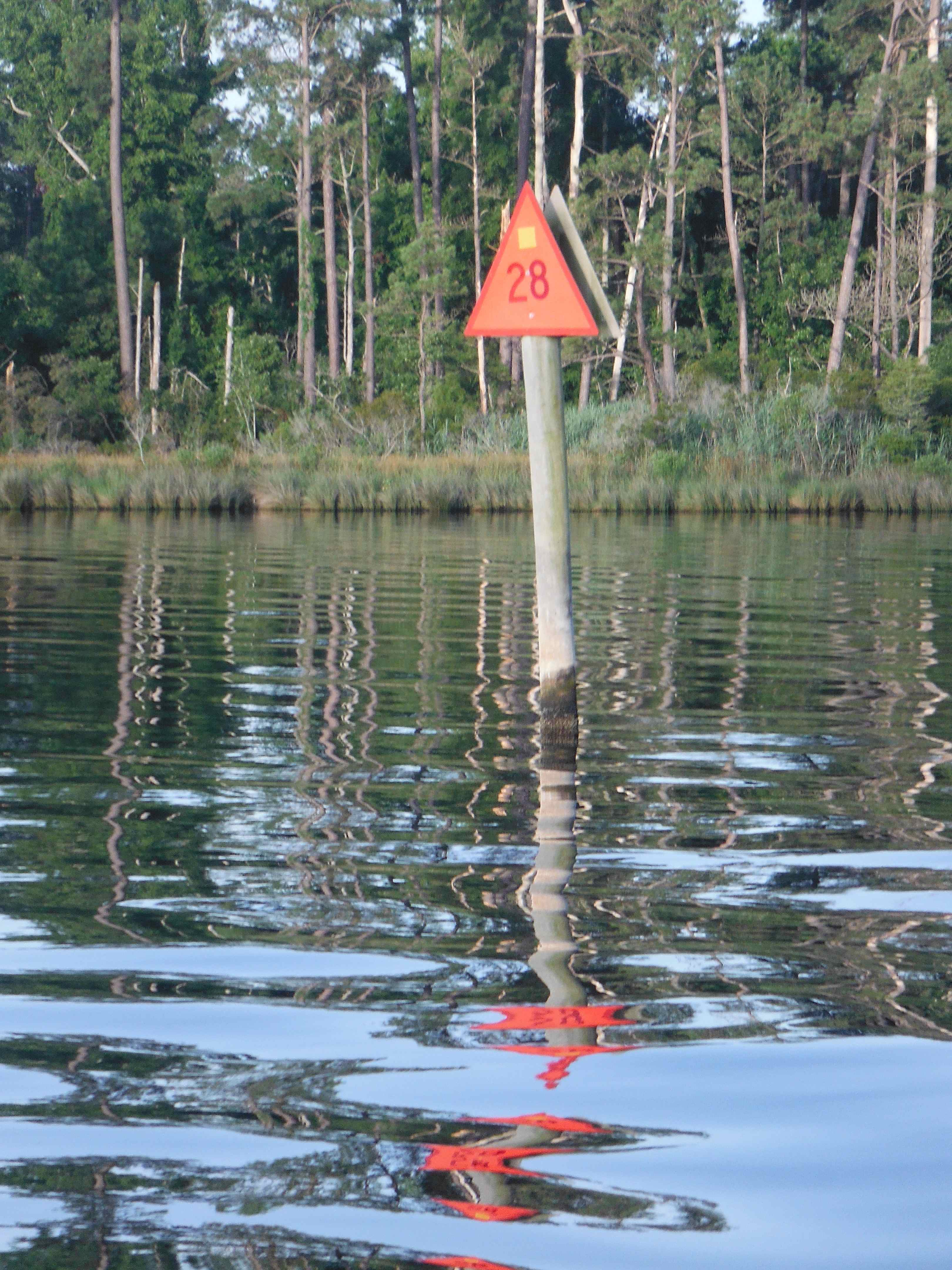
In my last post, I showed some of the markers along the ICW. The following mark is from a channel where you follow the red, right, returning rule, however the mark has a yellow triangle sticker on it, signifying you are also still in the ICW channel and this is the inland side of the channel. After you are out of the channel, the marks revert back to green on the ocean side, red on the inland side.

Green, square dayboard marker with yellow ICW triangle sticker. The yellow triangles are normally on the red triangle markers.
Another example of a dayboard mark you need to understand to navigate the ICW. Quiz, which side of this mark would you pass if you are headed northbound?
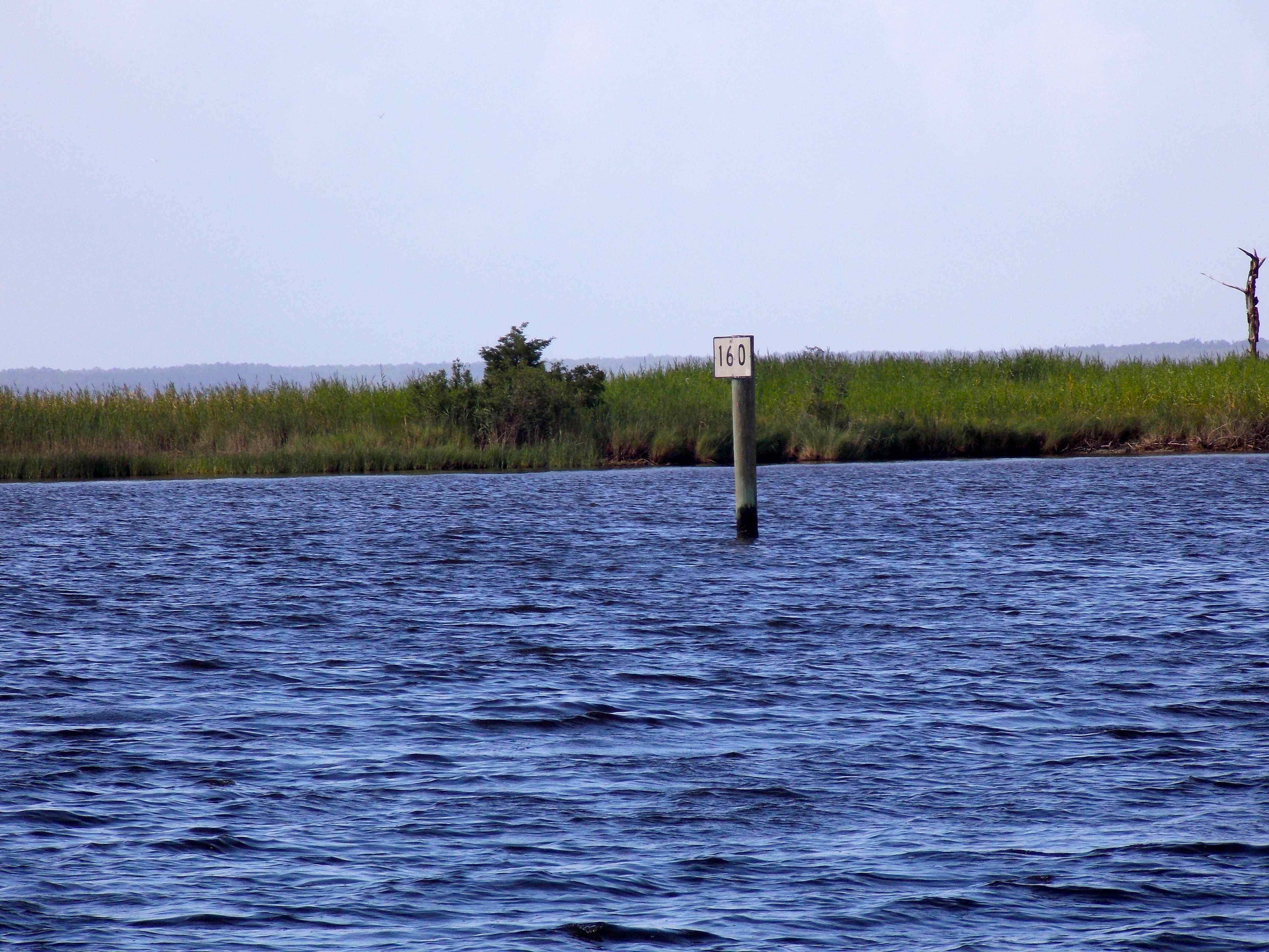
Mile 160. We are getting closer to Mile 0 (zero)!

Entering ‘stump land’. Just keep your boat in the middle of the ICW through here. You can see that it is flat calm for this part of our day.
We have had a variety of sea life swim along with us while we sail, birds have landed on our boat and rode along with us, a variety of insects enjoy catching a ride and this butterfly enjoyed flying along Truansea, having a playful flight along with us for about 10 minutes. I never would have thought a butterfly would do this.
There were quite a few dragonflies traveling along with us too and a bunch of them caught a ride and stayed with us for hours.

Dragonfly catching a ride on Truansea.

This one appears to be hanging on for dear life with his little legs. The ‘thing’ he is clinging on to is what we call our mascot. On our trip to Florida, this was on the dash of our vehicle. On our entire sailing trip, it has been in our cockpit, above the instrument panel. We really need to give the thing a name.
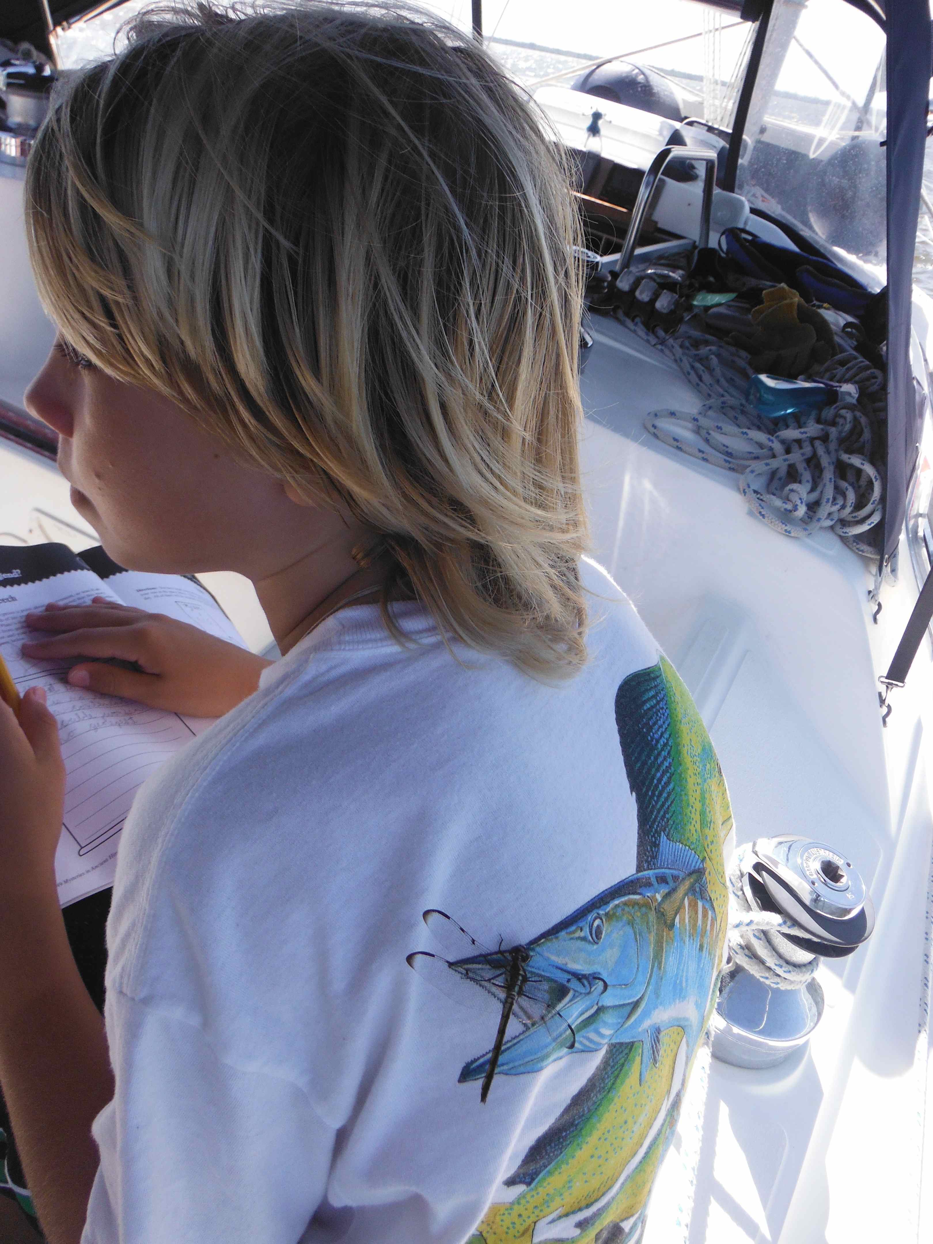
Another dragonfly hangs out on Logan’s back while he does school work. I had to laugh how it landed right on the fish’s mouth on his t-shirt.

Cole doing schoolwork as we sail along. You can see where our mascot resides above the instruments.
At mile 70 in the Albemarle Sound, boaters have to make a choice whether to take the dismal swamp route or the Virginia Cut route. The Dismal Swamp Route we had been told is very scenic and is only 3 miles longer. It is a shallow route and they recommend it only for boats with less than a 6’ draft. Our draft is 4’9”, which gives us plenty of clearance under the keel.
In 1763, George Washington first proposed draining the swamp to harvest cypress for shipbuilding and cedar for shingles, then farming the land. 30 years later, he sold his part of the swamp to “Lighthorse” Harry Lee, father of Robert E. Lee. Then in 1909, a lumber company purchased it and continued the harvest until the last tree was cut down in the 1950s. After that the land was donated to create the Great Dismal Swamp National Wildlife Refuge. The area has regenerated quickly from our view on the water and it now has tall trees and is abundant in wildlife.
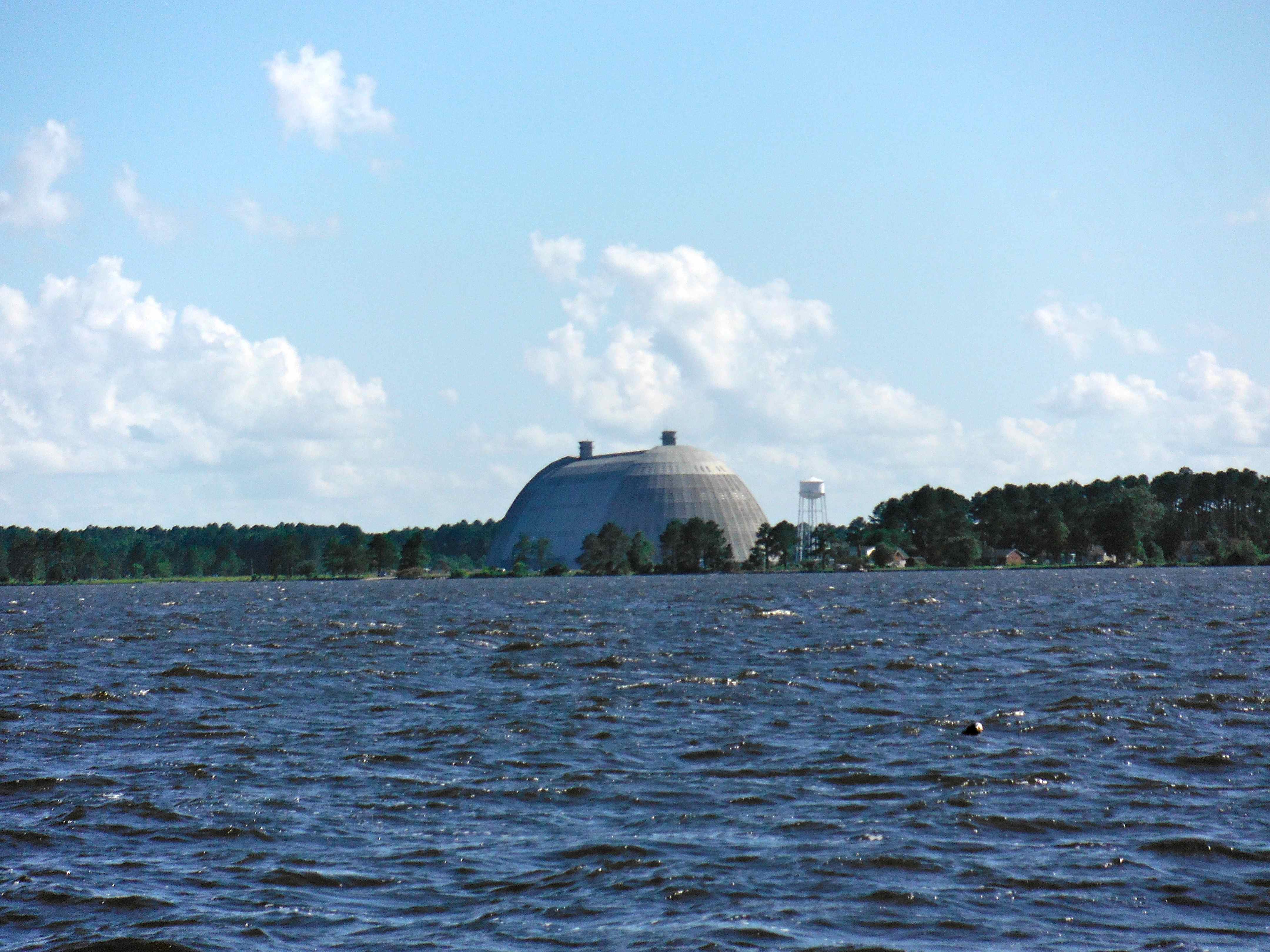
Have you ever seen a blimp hangar? We saw this unexpected, strange site from miles away coming up the Pasquotank River south of Elizabeth City, NC.
Blimps were used to guard again German submarines. From the gondola of a blimp, shallow U-boats were easy to spot. If a sub dived deep, the blimp crew used sensors that detected the vibrations of turning screws and the magnetism of a hidden boat’s steel hull to follow them. The blimp crews then called the warships to let them know where the U-boats were. The blimps could stay in the air for 2 days without refueling.
The ICW is full of the unexpected. This restored boat from the Vietnam War was one of them.
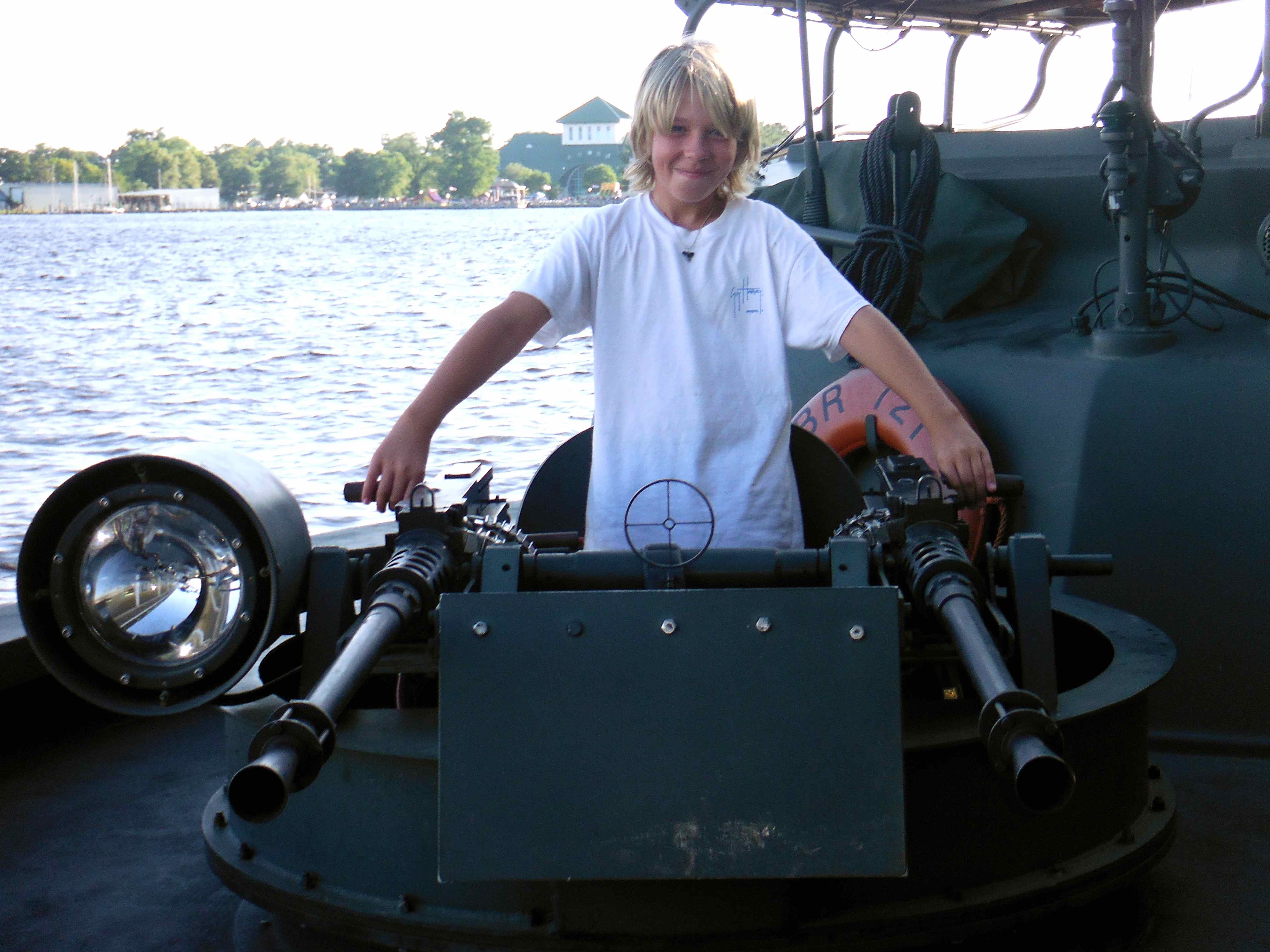
This boat pulled in to Elizabeth City at the dock we were at. No, Logan did not get to shoot real bullets out of it. They have it equipped with propane tanks to make it sound like it is shooting real bullets.

Okay girls, I have missed the marksmanship nights this last year, but I am keeping my skills up.
Do you know how hard it is to take pictures of fireworks, while trying to capture the foreground too? This picture does not do justice to the incredible firework show we watched from Truansea at Elizabeth City, NC. They lit the fireworks off of a raft in the middle of the harbor. We had the best seats in the house, all to ourselves on the deck of our boat. I can’t imagine I will ever experience a better firework show than this one. It was simply fantastic.

Mark in the cockpit 4th of July, 2013.
Heading up the Dismal Swamp in s/v Truansea, north of Elizabeth City, NC. This section of the swamp is quite wide and very picturesque.

Cap’n Mark enjoying a peaceful morning underway. All the bridge tenders, dock masters, etc., address you as Cap’n when they talk to you on the VHF radio. Not only do they call me Cap’n too, but they say, “Yes Ma’am” which makes me smile every time.
The water in the ICW becomes much browner as we progress into the Dismal Swamp. This is caused by the tannins in from the trees. On white hulled boats, it creates what people call, “The ICW Mustache”.

You can see the brownish water behind us.
The lock at the south end of the Dismal swamp raises us up 8 feet.

The first lock.

The scenery is amazing.
Hooray, we made it to Virginia!
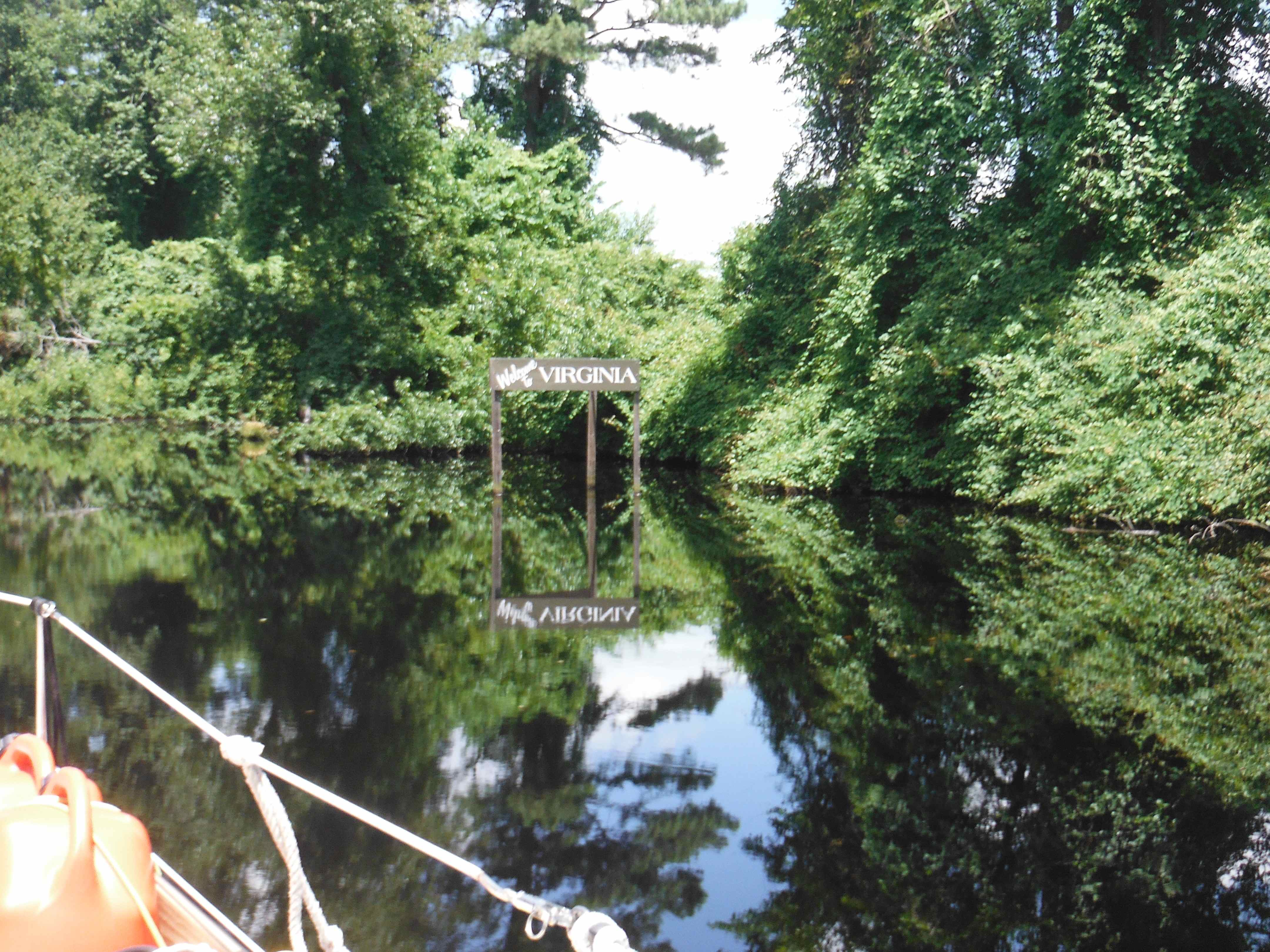
Crossing into Virginia on the ICW.
These are the only 2 boats we passed today. Both trawlers had very clever names.
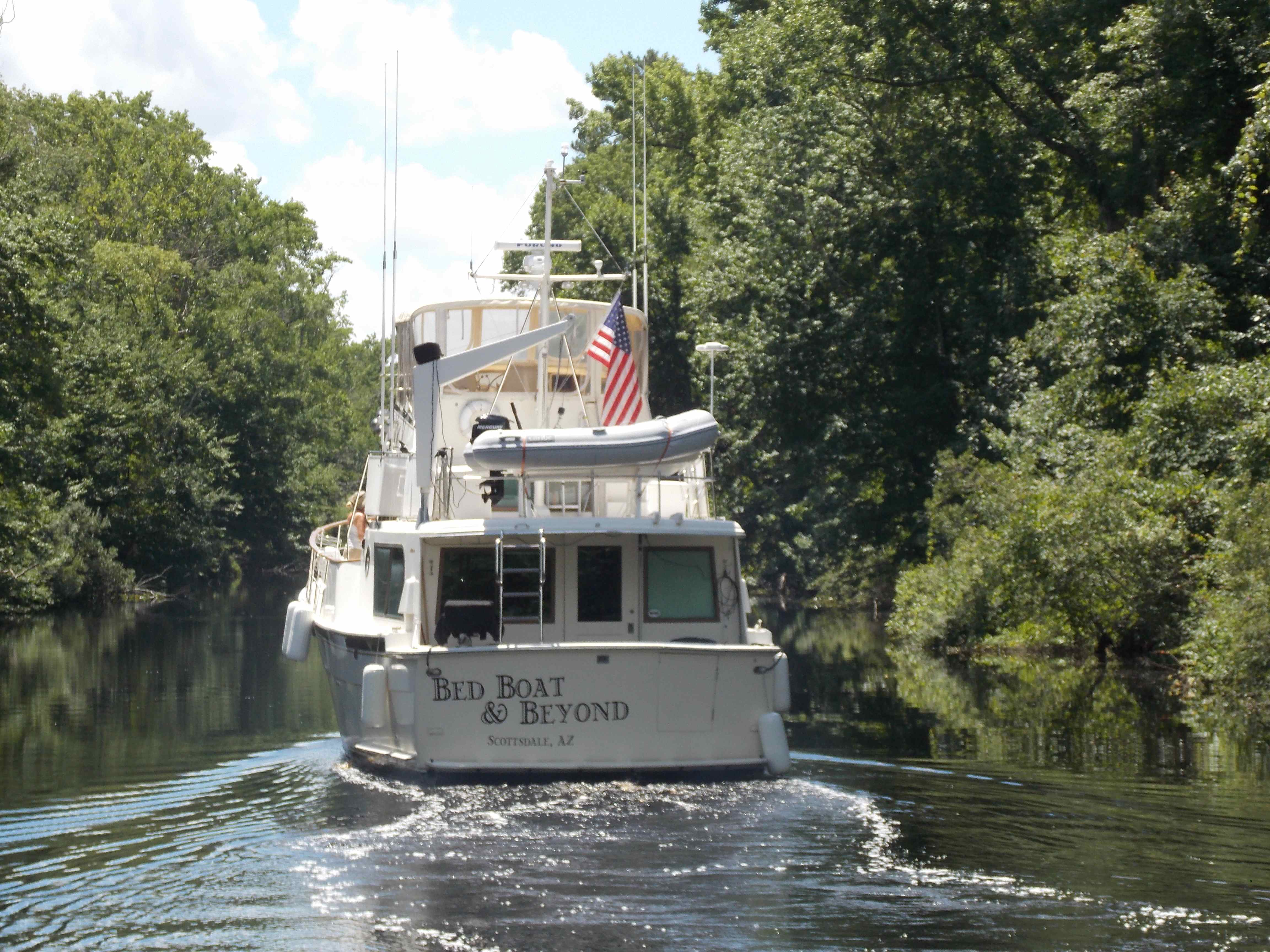
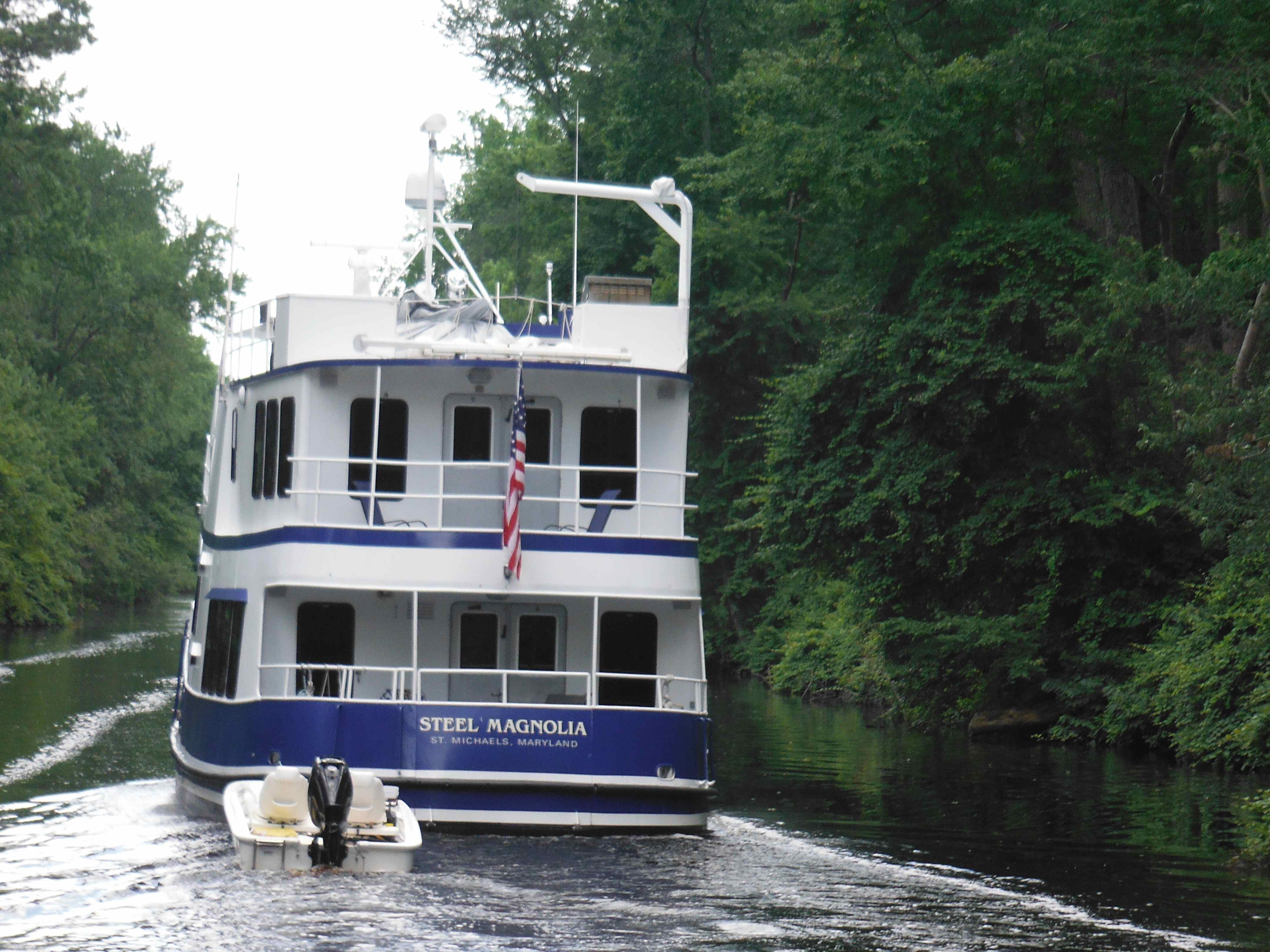
Steel Magnolia.
We planned on staying at the visitor’s center in the Dismal Swamp for the night but we found out we are here at the dismal time of the year. The deer flies are horrendous here for about a month and a half. They do not respect any of the bug repellent we have and bite us from head to toe, even on the soles of our feet and on our nail cuticle. It is crazy!
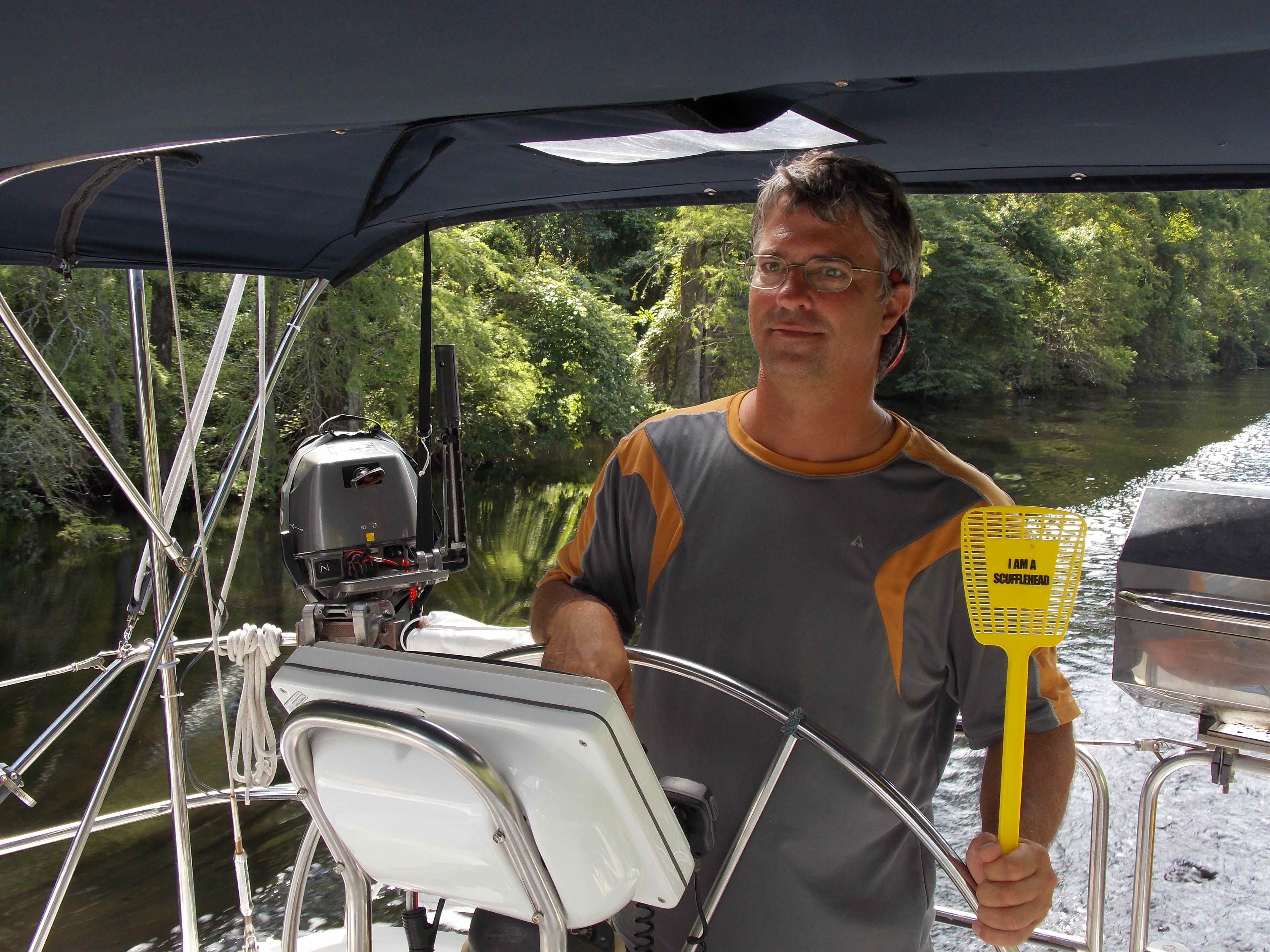
Mark is holding a Scufflehead fly swatter. Wonder what a Scufflehead is? Go to http://scuffletown.net. Mark introduced John in his last post. John, did you have any idea how useful your flyswatter was going to be to us as we made our way north after meeting you? It has killed unimaginable numbers of deer flies, horse flies and one really big cockroach.
We are all armed with fly swatters through a section of the Dismal Swamp. The pile of dead flies in the bottom of the cockpit was impressive.
The ICW takes a great deal of concentration to go through. Some areas we have to play the tides to make it through without running aground. Other areas we have to run with the ebb or flow. This section we need to keep a sharp eye out for floating logs and overhanging trees to make sure we do not catch our mast in the branches.

Watch the trees to clear your mast going through the narrow sections!
There are 2 locks to go through on the Dismal Swamp section of the ICW.

Cole getting the fenders ready to go through the Deep Creek lock.
Robert, the lock master at the Deep Creek lock asked where we were coming from. When we told him we were in the Bahamas this winter, he asked if the boys had any conch horns. The boys produced their horns from the boat and Robert blew them. Not only was he great at blowing them, he could toot out songs on them and change the pitch of the horn by moving his hand in and out of the curl inside the horn. He gave us an entire lesson on conch horn blowing. We had no idea such variety was possible out of these horns!
He was also an expert in the history of the Dismal Swamp and gave the boys their history lesson for the day.
After we came out of the remote Dismal Swamp and turned the corner onto the main ICW, we were blown away by the sites of civilization. Not just a house or two but full scale industrialization.
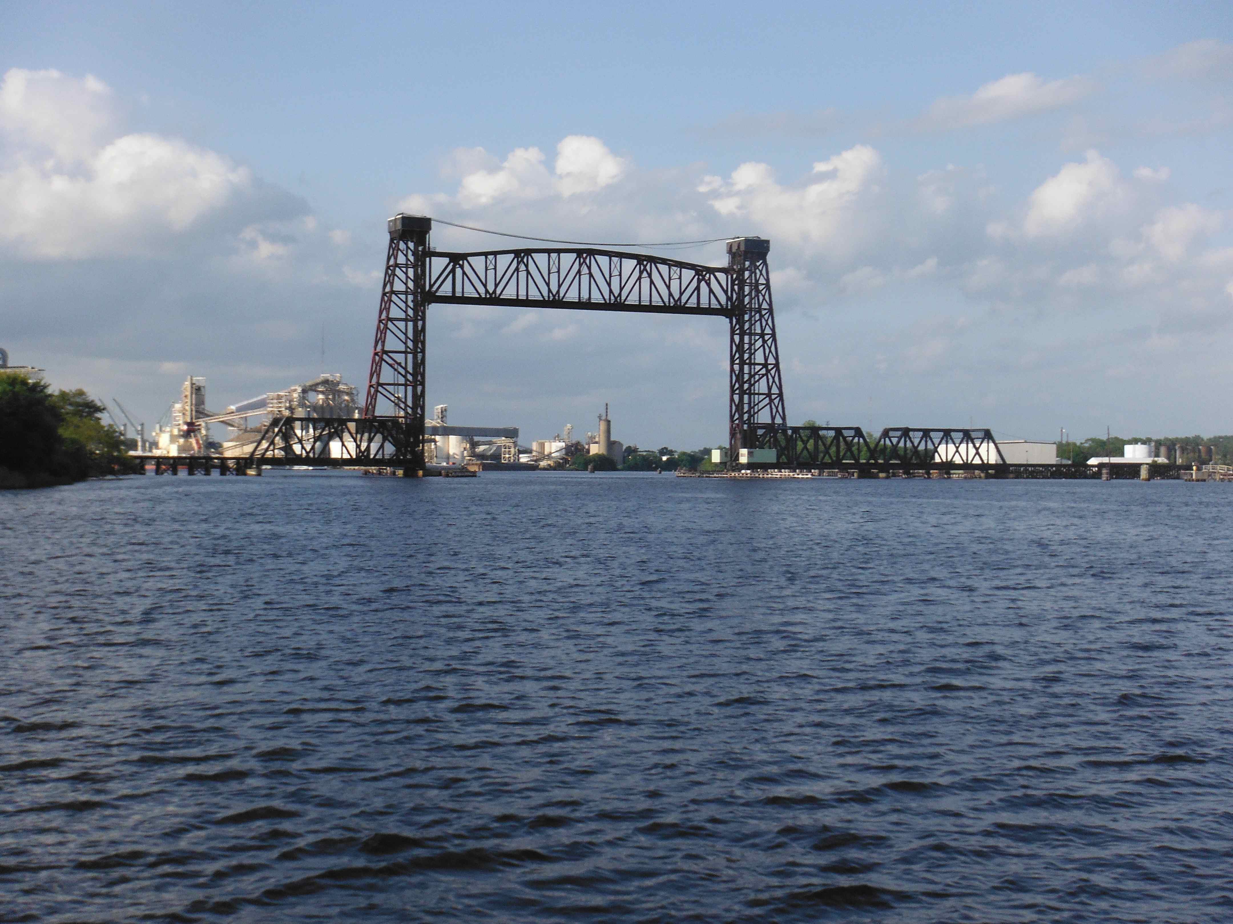
The first lift bridge we came to approaching Norfolk. This was the first bridge we encountered that lifts up to a custom height according to the boats need. Our mast is 59′ high and the bridge tender raised the bridge to 70′ for us. Most all of the fixed bridges on the ICW are 65′ high.

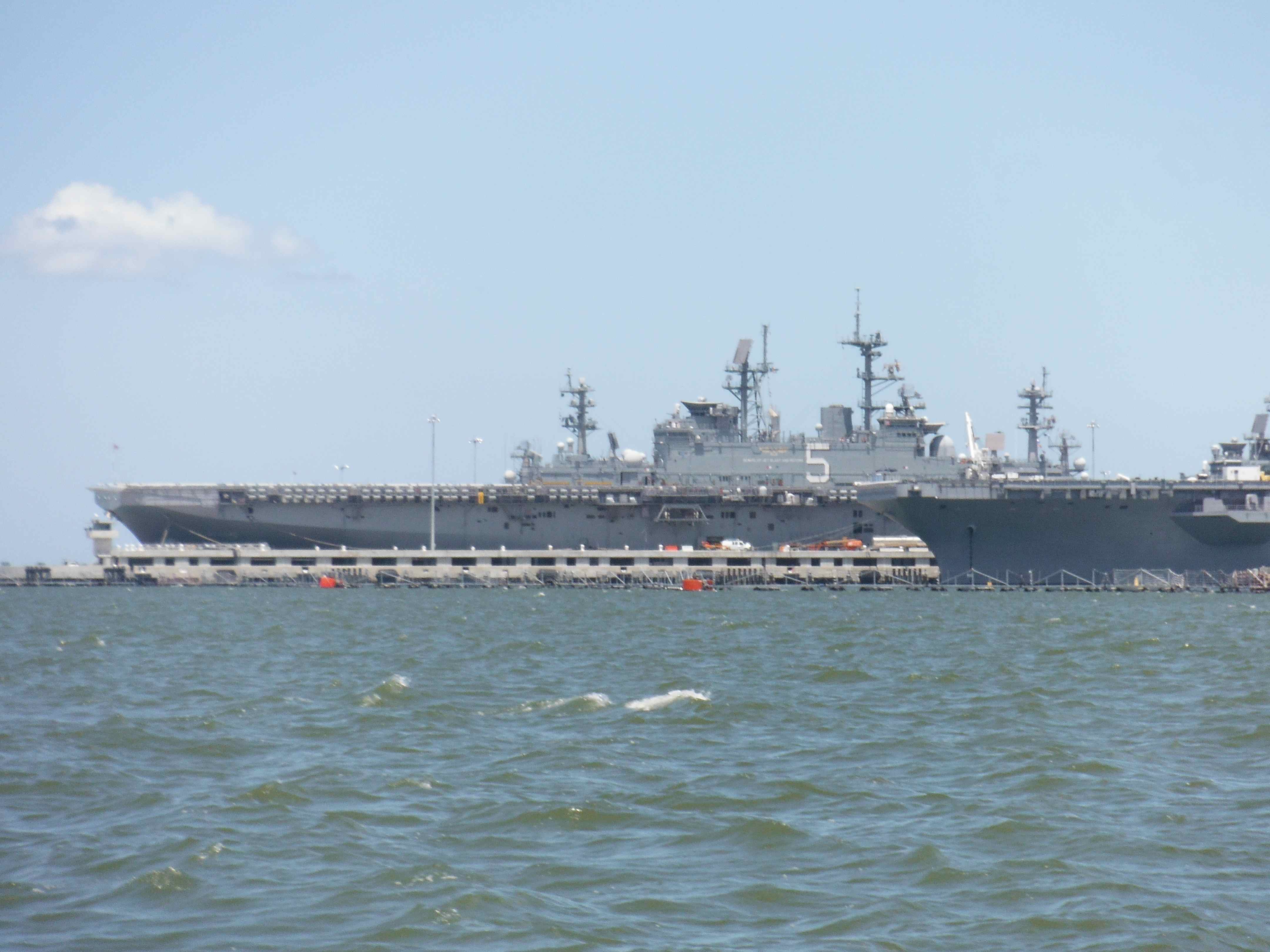
The sight of Norfolk, VA ahead.
WE MADE IT MILE O (ZERO) ON THE ICW!!! We went almost 1,000 miles up this waterway. What a trip it has been. Another big check off our adventure list.

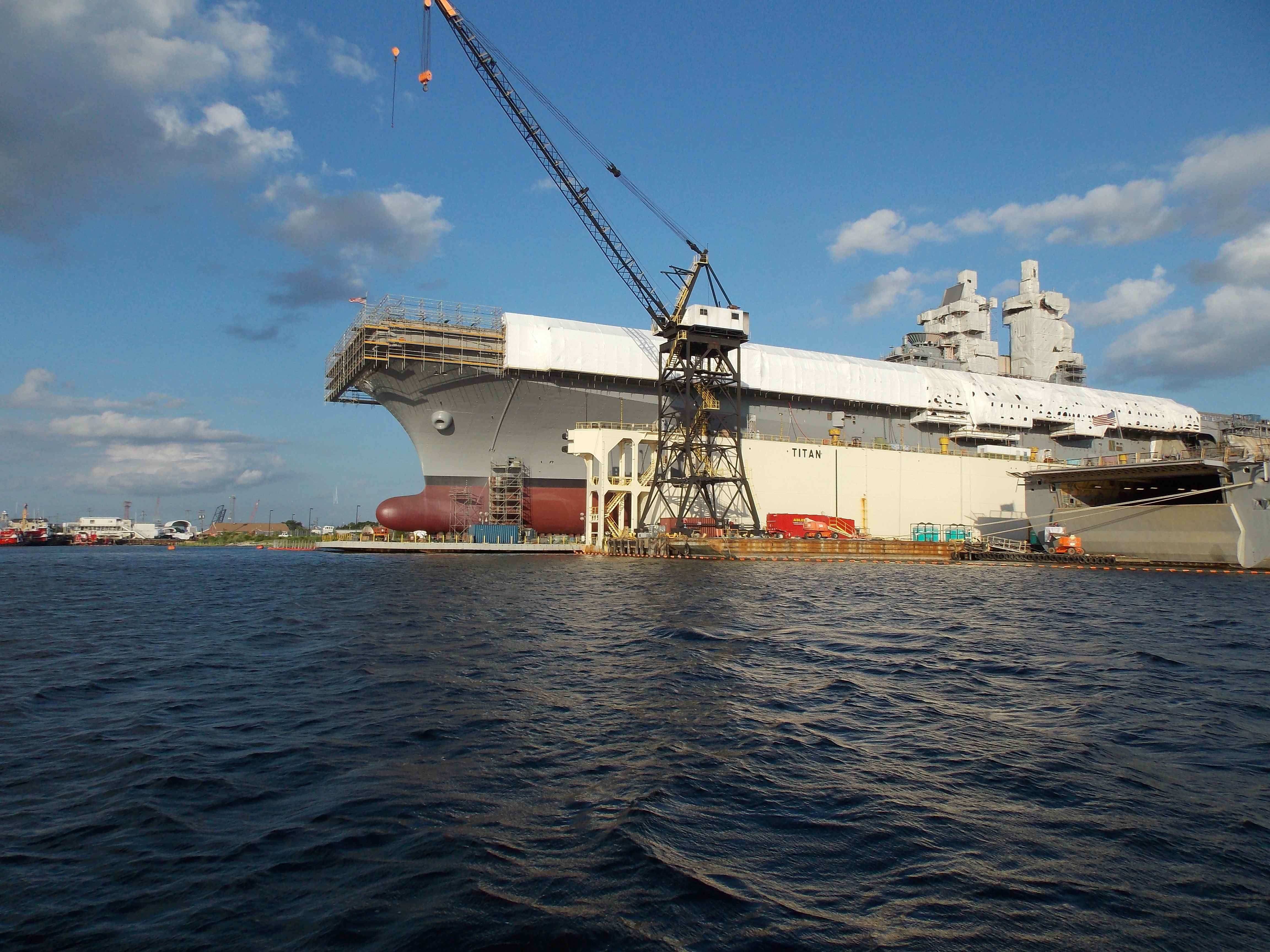
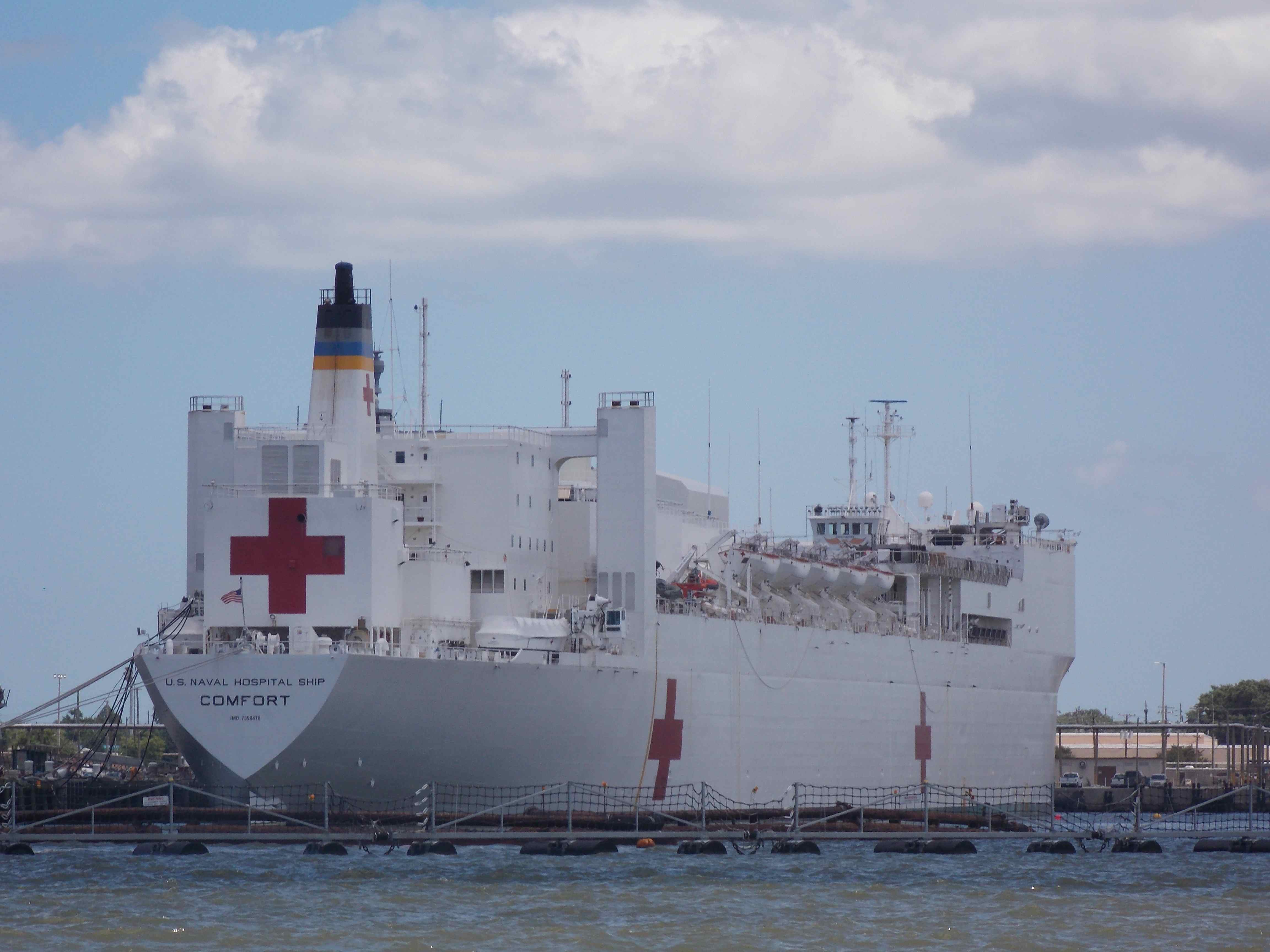
There were so many big ships, pictures do not do it justice. We felt like a dragon fly bobbing on the water through here.


The sun sets on Norfolk.
Not only are we excited to make it to Norfolk, but one of our Bahama cruising friends, Bill on s/v Providence is here. We thoroughly love spending time with Bill and he hopped on the ferry to cross the river to where we tied up for the night. He toured around the city with us. One of the museums we went to was a Lightship Museum. The first Saturday of the month, the museums are free – lucky us!

Portsouth Lightship Museum.
They were also having a nautical historical day so the boys, once again, got their history in.
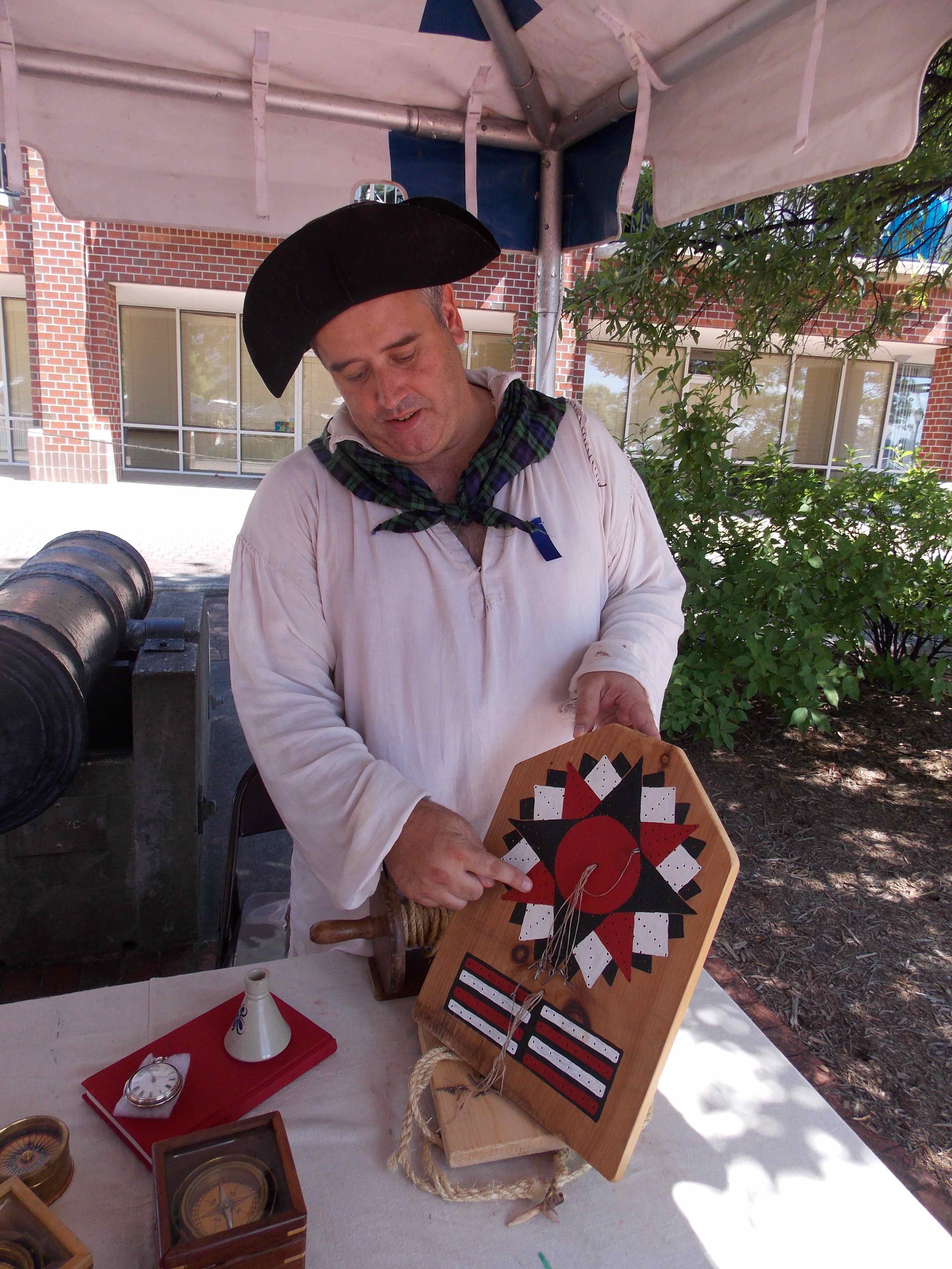
Do any of you know what this is? I did not before he explained it to me. I’ll let you readers try and figure it out!
The next day we traveled up river 8 miles to the marina where Bill was at to prepare for crossing the Chesapeake the next day, a 60 mile run for us.

Cole petting Miss Kitty, who as Bill puts it, owns him. I have met a lot of cool cats but Miss Kitty is at the top of the list.
After we arrived in Norfolk, we received a call from our friends in Boise, Lisa & Rod, who are partly responsible for us taking on this adventure. They did a 2 year trip through the Caribbean a number of years back and were one of our mentors in preparing to set out on this trip. When Lisa called, she said something to the effect that they are visiting some friends on the east coast and wondered where we were at now. I told her we just arrived in Norfolk. They were doing a historical loop with their car that day and would be passing through Norfolk as well! What are the odds of them and us being in the same city on the same day? Crazy! They stopped by the marina we were at that afternoon and had dinner with us. It was great to see them in person and catch up.

Rod & Lisa from Boise visit us in Norfolk!
July 7th was a perfect sailing day as we headed out into Chesapeake Bay. We were able to sail on a broad reach for most of the day, making our destination of Yankee Point Marina up the Rappahannock River off the west side of the Chesapeake Bay.

A beautiful day sailing Truansea across the Chesapeake Bay.
Fair winds ~ Christine

Amazing adventures. We have certainly enjoyed the tails of the Truansea. I just finished reading a book called the The Water is Wide by Pat Conroy. He taught for a year on Daufuskie Island, which is off of Beaufort. Quite the controversy he caused back in the 1970s. He’s also the author of the Prince of Tides and the Great Santini. He had a very interesting upbringing from the south. He did not teach very long, in fact after Daufuskie Island, he never taught again. He became a southern writer and was inducted into the Georgia Writers Hall of Fame. I thought your trip logs were great because you were in the area of Daufuskie about the time I was reading about the island and education for my summer master class. It all sounds like the grandest adventure ever. Trevor and Kaila ask about the boys a lot. Have a super day.
Mederios Family
Rachel, How ironic that you were reading about Daufuskie Island when we were in the area. Yup, we went right by it. Pat Conroy definitely went out on a limb with his writing. Sounds like you are working hard this summer. Hope you are taking some time for yourself too! The boys say hi! Christine